Kukës County · North-east

Kukës

42.08°N 20.42°E · Last checked: Nov 2026

A lakeside town near Kosovo, rebuilt on a plateau after the old town went under a reservoir in the 1970s. In 1999 about half a million refugees from the Kosovo war crossed into the area, and the town is a gateway to wild mountains.
From Tirana
About 2.5 h
Best time
May–Sep
Good for
Lakes, mountains, road trips
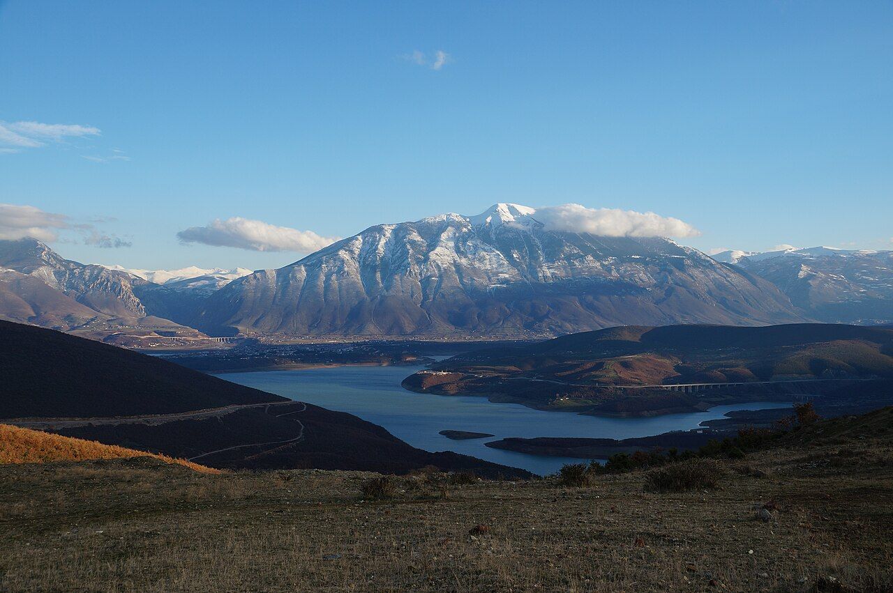
Kukës by Lake Fierza, with snow on Mount Gjallica behind
Photo: Albinfo, CC BY 4.0, via Wikimedia Commons

Places to visit

Lake · half day

Lake Fierza

The reservoir that flooded the old town in the 1970s. Swimming is popular in summer.

Bunker · guided tour

Underground City

A Cold War shelter about 30 m under the town, open only on organised tours.

Hike · full day

Gjallica

The highest mountain around Kukës, at 2,468 m. Go with a local guide.

Nature · half day

Bad Stairs canyon

A canyon near Bicaj, about 30 minutes away by car.

On the map

Zoom with the + and − buttons, two fingers, or Ctrl and the mouse wheel. Open in OpenStreetMap

A short history

  1. The Fierza dam's reservoir floods the old town. A new town is built on a plateau above the water.
  2. About 500,000 refugees from the Kosovo war cross the border here and stay in camps around Kukës.
  3. Kukës is nominated for the Nobel Peace Prize, reportedly the first town ever nominated.
  4. The Nation's Road motorway links it to Tirana and Kosovo.

Getting there

  • From Tirana: about 2.5 h by bus or car on the A1 toll motorway (Rruga e Kombit). Buses run about hourly, 06:00–19:00.
  • From Kosovo: the A1 continues to Prishtina, and the SH23 leads to Gjakova.
  • Buses often stop outside the centre. Agree taxi fares before you get in.

When to go

BestGoodPeak heat or crowdsQuiet season

Sources

Written in our own words. The facts were checked against these pages in Nov 2026. Prices and timetables change, so confirm them locally before you travel.

Nearby